
Southampton Neighbors and Block Sources
A block lookup has several separate sources. The Town map can show nearby parcel geometry and layers. An assessment roll supplies year-specific printed fields for a parcel. The County Clerk indexes recorded instruments, and civic groups define organization areas rather than households. None of those sources is an official block-wide resident list. Keep the map date, roll year, and document date beside every result.
| Source | Block Information Available | Access and Limit |
|---|---|---|
| Town GIS Public Information Center | Adjacent tax parcels, footprints, districts, zoning, flood, historic, and community layers | Free address or click map; layer dates vary |
| Assessment roll | Printed owner/name, mailing and situs fields, values, exemptions, and districts for a selected year | Town final-roll PDFs; not a household list |
| Suffolk County Clerk kiosk | Tax-map identifiers and recorded deed or mortgage index entries | Online land records stated 1987 to present; images and copies differ |
| Voter record route | Permitted registration information under separate election rules | New York and Suffolk election offices; protected fields and purpose rules apply |
| Civic organizations | Organization-defined geography, meeting, or public-context information | Committee page or organization record; no membership roster |
| Historic collections | Older address, map, directory, or newspaper lead when a holding is confirmed | Library or archive request; exact reverse-directory run is not confirmed |
The most common error is treating a map polygon or an assessment name as a profile of the people next door. A parcel is a unit of land. The roll may carry a mailing address that differs from the physical situs, and it describes an assessment relationship for that roll year. It does not identify every occupant, utility customer, or personal connection around the block.
Southampton Neighbor Map Layers
The Public Information Center accepts an address or a map click and allows the search radius to increase. Turn on Tax Parcels and Building Footprints first. Then add only the context layer that answers the question, such as zoning, school or fire districts, FEMA flood zones, historic districts, community boundaries, trails, water bodies, or Town planning projects.
Those layers can explain the physical setting around the address. They cannot establish who knows whom, who occupies a property, or whether a boundary is legally definitive. The County GIS warning says its maps are for general reference and accuracy is not guaranteed. Keep that caveat beside any map comparison, especially when a school, fire, flood, or municipal line seems to intersect the parcel.
Southampton's paid GIS ePortal describes additional tax, sale, document, permit, mass-appraisal, and owner/address functions, but its retention dates are not published and a subscription does not make every historical item available. The free map is therefore a starting point for parcel context, not a complete historical file.
Map a Southampton Neighbor Block
Map adjacency is a controlled, repeatable way to study the immediate area. It begins with the subject parcel and ends with public identifiers, not guessed social relationships.
- Search the address or click the subject parcel in the Town GIS viewer, then record its tax map or DSBL, map date, and relevant layer.
- Turn on Tax Parcels and Building Footprints. Click the polygons that directly adjoin the subject parcel or fall inside a documented radius.
- For each parcel, record the public parcel identifier, selected assessment-roll year, and only the fields that relate to the research question.
- Use the County Clerk tax-map and name-record routes for an appropriate recorded-instrument check, keeping the legal description and document date separate from the map result.
Use mapped adjacency to describe land near land. It should never be converted into a statement that two named people know, visit, or live with one another. For a full named-street parcel process, the Southampton street directory follows the separate street-by-street chain.
Southampton Neighbors in Property Records
The Southampton Assessor maintains an assessment roll for more than 51,000 parcels, including parcels in the incorporated villages. A current final-roll sample has item number, owner/name and address of last reputed owner, tax map or address identifier, values, exemptions, class, tax code, acreage, and district columns. Read the printed mailing and situs fields separately.
For a recorded document, the County Clerk tax-map search uses house number, street name, and ZIP. Name Records uses last name or corporation, optional first name and suffix, date range, and Starts With, Contains, or Exact choices. Search grantor and grantee separately. A County Clerk index hit points to a document trail; it is not a statement about present occupancy or personal ties on a block.
Note: Parcel boundaries and assessment fields can change through subdivision, assemblage, apportionment, and later recording, so retain the record's own date and identifier.
Southampton Neighbor Voter Limits
The public New York voter lookup is a name-and-date-of-birth service with county and ZIP information. It provides registration, polling-place, and mail-ballot functions, not a block browser. The official election record route is different from a request for a fuller file, which has an elections-purpose requirement and protected fields.
The captured New York election-record FOIL guidance shows the official route for election information requests.
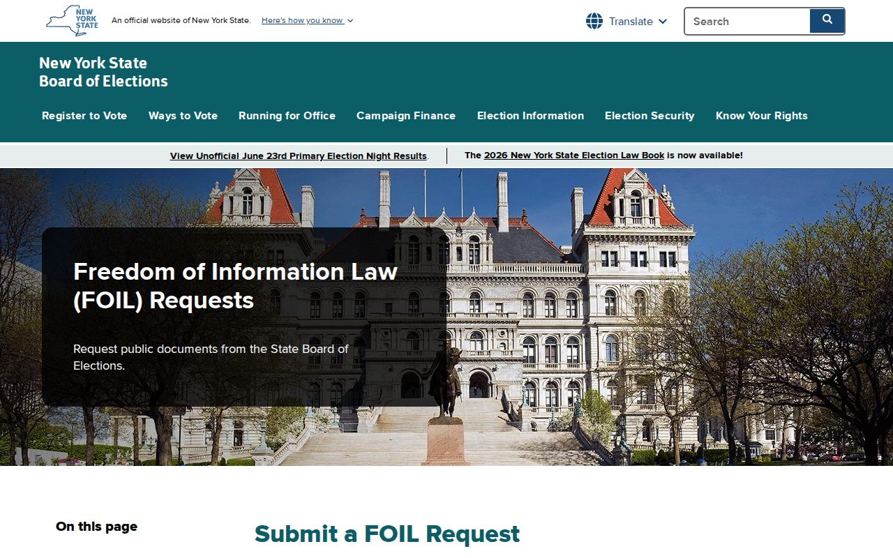
Election Law section 3-220 protects driver-license or non-driver-ID information, Social Security numbers, and facsimile numbers, while confidential-voter protections can apply. Do not publish or reconstruct a street-level voter roll.
Southampton Civic Areas and Neighbors
Community sources provide context about an area, not a list of residents. The Town's advisory committees and the Bay View Pines Civic & Taxpayers Association are the organization-level sources identified in the research. Their geography may be useful alongside a GIS community boundary, but it must not be used to infer membership, ownership, or an address-specific relationship.
| Organization source | Publicly described area or context | Use boundary |
|---|---|---|
| Town Citizen Advisory Committees | East Quogue; Flanders/Riverside/Northampton; Hampton Bays; North Sea; Noyac; Southampton/Shinnecock Hills/Tuckahoe; Water Mill; Westhampton/Speonk-Remsenburg/Eastport/Quiogue | Town civic geography and the Town Council contact route, not a roster |
| Bay View Pines Civic & Taxpayers Association | Founded in 1963; Long Neck Boulevard, Flanders Bay, Goose Creek, and Flanders Road area; about 375 homes and monthly meetings | Public organization context; member participation and voting do not create a public membership directory |
Official Southampton Neighbor Records
Official sources preserve the custodian, field labels, and date that allow a result to be checked. Commercial neighbor-lookup tools are a broad category that may combine public records, marketing files, self-reported profiles, and purchased data. They can be stale, mismatched, incomplete, and subject to opt-out and safety limits. They are not a replacement for a Southampton record custodian.
| Question | Official record route | Commercial category limitation |
|---|---|---|
| Which parcel is adjacent? | Town GIS parcel geometry and dated layers | May merge an address with an outdated identity |
| What is printed for a parcel year? | Assessment roll and Tax Receiver source | May omit the roll year and field labels |
| What recorded document is associated with a parcel? | County Clerk tax-map, name, and liber/page index | May obscure document status or copy access |
Use a public record for the limited fact it provides, then preserve its retrieval date. A property boundary and a document index are better research tools than an untraceable personal profile.
Safety Sources Are Not Neighbor Rosters
The official New York Sex Offender Registry subdirectory has a specific statutory scope. Its online search requires one of last name, county, or ZIP and covers Level 2 and Level 3 records, with custody filters and a CAPTCHA. It is not a tool for making a block list, and an old result should not be treated as current.
The official subdirectory reference below shows why a statutory safety resource should stay within its stated limits.
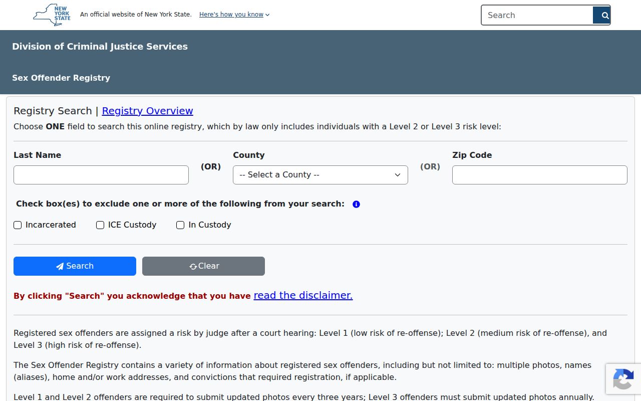
Level 1 and not-determined verification use the Registry phone route, while public online address-verification cadence varies by level. Use a current official result and never treat it as a generic block roster.
The New York unclaimed-funds search is also a name-search resource with a different purpose. It is free, may show a potential owner, last-known address, and property nature, and requires identity and entitlement proof to claim. It is not evidence that someone is a current local resident.
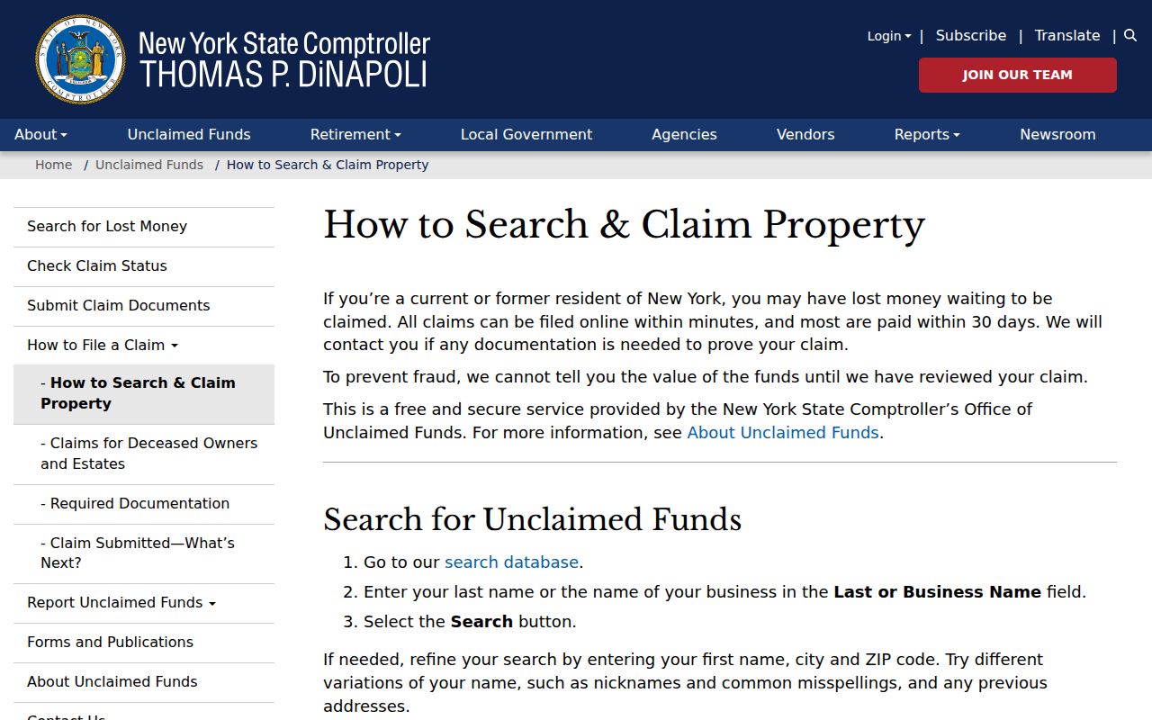
The state search's claim requirements help distinguish an older financial lead from a reliable account of a nearby household.
Southampton Deed-Theft Alerts
For a property-document concern, verify the tax map and recorded information through the County Clerk. The New York Attorney General's deed-theft guidance advises owners to check County Clerk records and use official reporting channels. It is a property-protection route, not a way to collect names from surrounding parcels.
The Attorney General's dated protections notice below is a reminder to confirm a solicitation through an independently found agency contact, not through a suspicious message.
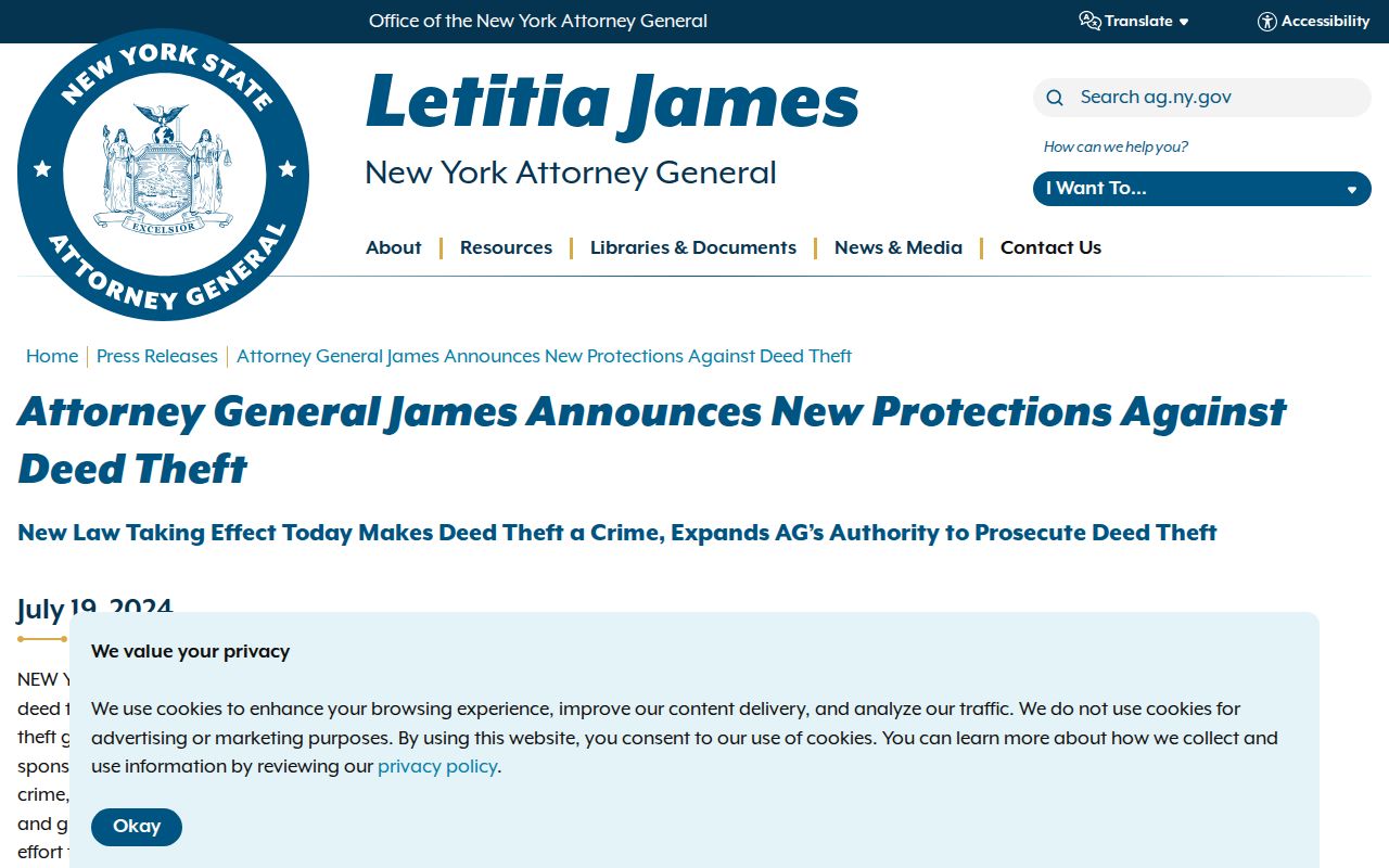
Record the document details, tax map, dates, and the source of any alert before asking the Clerk or Attorney General for the appropriate next step.
Southampton Neighbor Privacy Limits
Protected voter addresses, an Address Confidentiality Program participant's actual address, motor-vehicle data, utility and delivery customer information, unlisted household members, and sealed court or vital records are not a public block resource. An ACP substitute mailing address must be preserved as the official field and never used as a starting point to reconstruct a protected location.
New York FOIL can involve exemptions and redaction, and the Driver's Privacy Protection Act restricts motor-vehicle personal information. If a map, roll, or document appears wrong, take the identifier, date, and field label to the agency that maintains it. Do not combine pieces of public data into a personal dossier.
Town, village, county, and state offices can hold different parts of a record trail. A gap at one office calls for a focused request to the right custodian, not a broader search for personal details.
Lawful use. Public map and record access does not permit stalking, harassment, intimidation, or attempts to expose protected addresses. Keep research to a lawful, limited purpose and use official custodians for correction or access questions.