
Search Southampton Streets by Address
For a street-by-street question, begin with the address rather than a name. The most reliable Southampton street directory path keeps one property identifier moving from source to source: the standardized address leads to a parcel, the parcel leads to assessment fields, and the tax map or legal description leads to recorded documents. A printed owner field, a tax account, and a deed each have different dates and purposes. Keep them separate. The free map is useful for locating a parcel and nearby map context, but it does not promise a complete current-owner display.
- Confirm the complete delivery address with the USPS ZIP Lookup. Record the municipality and ZIP as they appear, because a post-office label and Town boundary can differ.
- Enter that address in the Town GIS Public Information Center, or click the parcel on the map. Increase the radius only for map context, then retain the parcel identifier and visible layer dates.
- Check the final assessment roll for the printed owner/name of last reputed owner, mailing field, situs, assessment year, and tax-map information. Use eTax to search the related tax account. Neither source is a title opinion.
- Run the same property through the Suffolk County Clerk kiosk Tax Map search, then use Name Records and Liber/Page controls to locate recorded instrument entries.
- For an older address, compare historic maps, Town record volumes, and local collections. A reverse or criss-cross volume may help only after Rogers Memorial Library or the museum confirms a Southampton run.
Southampton Parcel IDs by Street
Street numbers alone can be misleading where a subdivision, assemblage, or apportionment has changed a parcel. The Suffolk County Real Property Tax Service Agency, or RPTSA, is the official tax-map authority. Its DSBL identifier means district, section, block, and lot. It is a useful bridge between the Town map, assessment material, and the County Clerk tax-map result. The RPTSA owner index is a research lead, not a replacement for the recorded deed or a certified copy when document proof is needed.
- Parcel
- A mapped tract of land used in the tax system. One street address may not describe the same parcel over time.
- Situs address
- The physical location of the parcel. It can differ from the mailing address shown for assessment correspondence.
- DSBL
- The district-section-block-lot tax-map identifier used by Suffolk County to locate property on the official map.
- Criss-cross directory
- An address-to-name directory, if a repository holds one. No confirmed Southampton reverse-directory run was located in the research.
Use the RPTSA Tax Map Division for the identifier format and parcel-change context. A survey and legal description, not a web map, control the boundary.
Southampton Street Map Layers
Town GIS makes a street directory more than a string of house numbers. After locating a parcel, the viewer can show tax parcels and building footprints alongside zoning, school and fire districts, flood zones, historic districts, cultural resources, water, trails, community boundaries, and planning projects. Each layer has its own update cycle, so capture the source and date rather than treating an overlay as a final property finding.
The Town GIS program describes the free Public Information Center and the subscription ePortal.
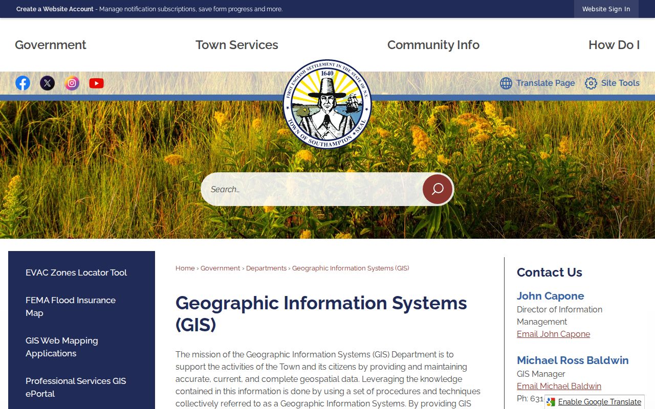
The free map supports address and click searches with a radius control. The paid GIS ePortal describes additional property, tax, sales, document, permit, and owner/address functions, but its exact historic retention dates are not published.
Southampton Street Directory Search Fields
Southampton exposes several address-facing tools, each keyed differently. Enter the exact street spelling and ZIP where a form asks for them. The assessment roll, eTax result, GIS parcel, and Clerk result should be saved with their record date because a match in one system does not update the others. A broad result should be narrowed with a parcel identifier or a date range rather than assumed to cover every property on a street.
| Southampton tool | Observed fields or controls | Result and limitation |
|---|---|---|
| Town GIS Public Information Center | Address, map click, search-radius increase, base-map and layer toggles | Free parcel and layer map; no universal coverage date. |
| Southampton eTax | Address, bill number, owner name, company name, tax map number, item number | Tax-account search; historical retention was not stated. |
| Town ePermit | Licensed contractor, permit status, property search, permit number or address | Public results route; coverage dates were not stated. |
| Clerk Tax Map | House number, street name, ZIP code | Tax-map ID, name, address, and DSBL-style result fields; first 2,000 displayed. |
| Clerk Name Records | Last or corporation, first, suffix, date range, match mode | Recorded-instrument index; land-record coverage is stated as 1987 to present. |
The Southampton eTax portal offers the address, owner, company, tax-map, item, and bill-number entry points documented during research.
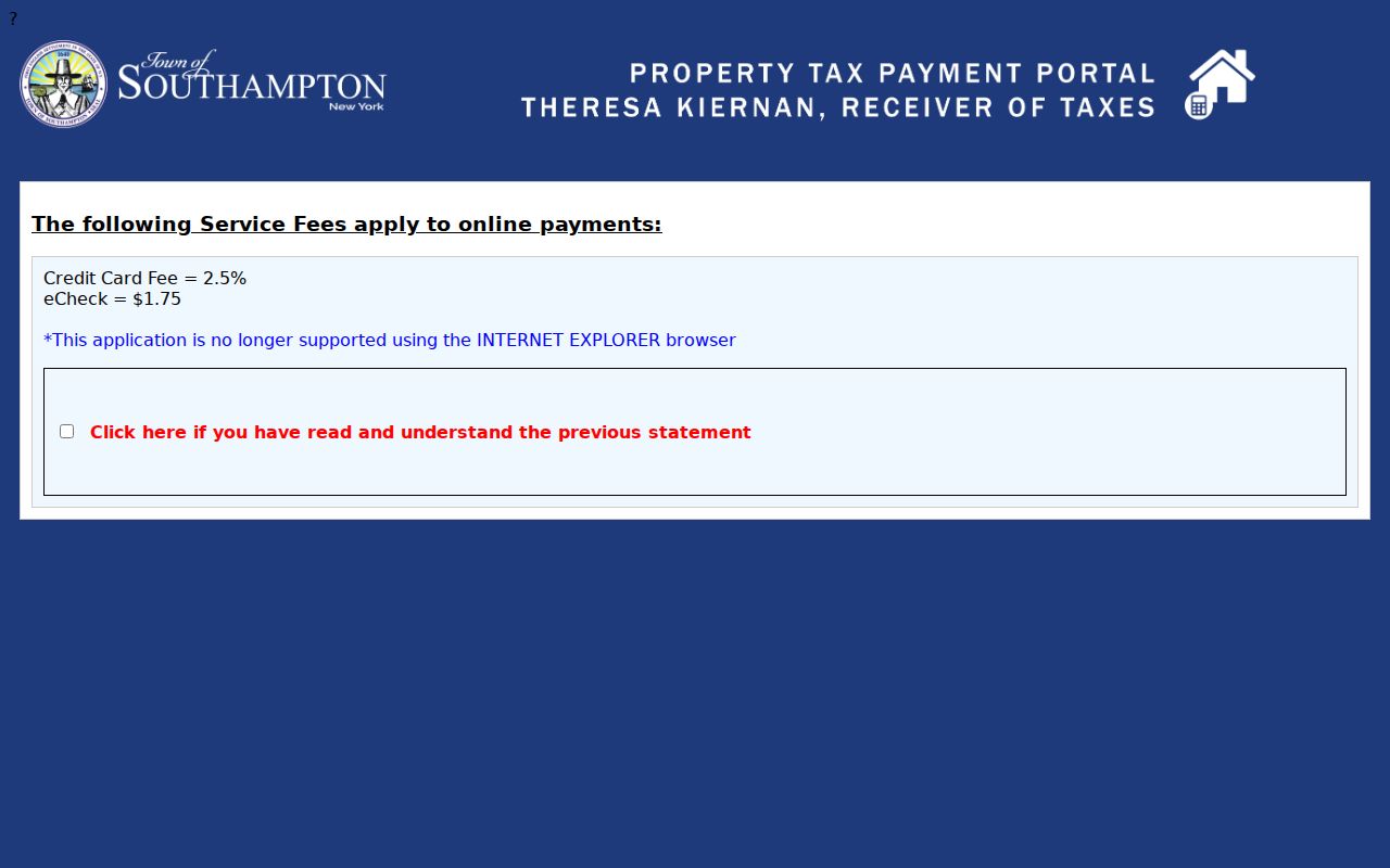
An eTax hit can help align an address with a tax account. It is not a deed, a complete ownership history, or proof of who is present at the location.
Southampton Permit Records by Address
Permits and land-management files offer a different street-level record trail. The Town ePermit Lookup has Licensed Contractor, Permit Status, and Property Search controls, along with Permit Number or Address input. Records tied to an address may include permits, certificates, site plans, subdivisions, variances, zoning decisions, violations, board minutes, or resolutions. An applicant or professional named in a file is connected to that filing, not automatically to a current address.
The Southampton ePermit Lookup shows the property and address search route.
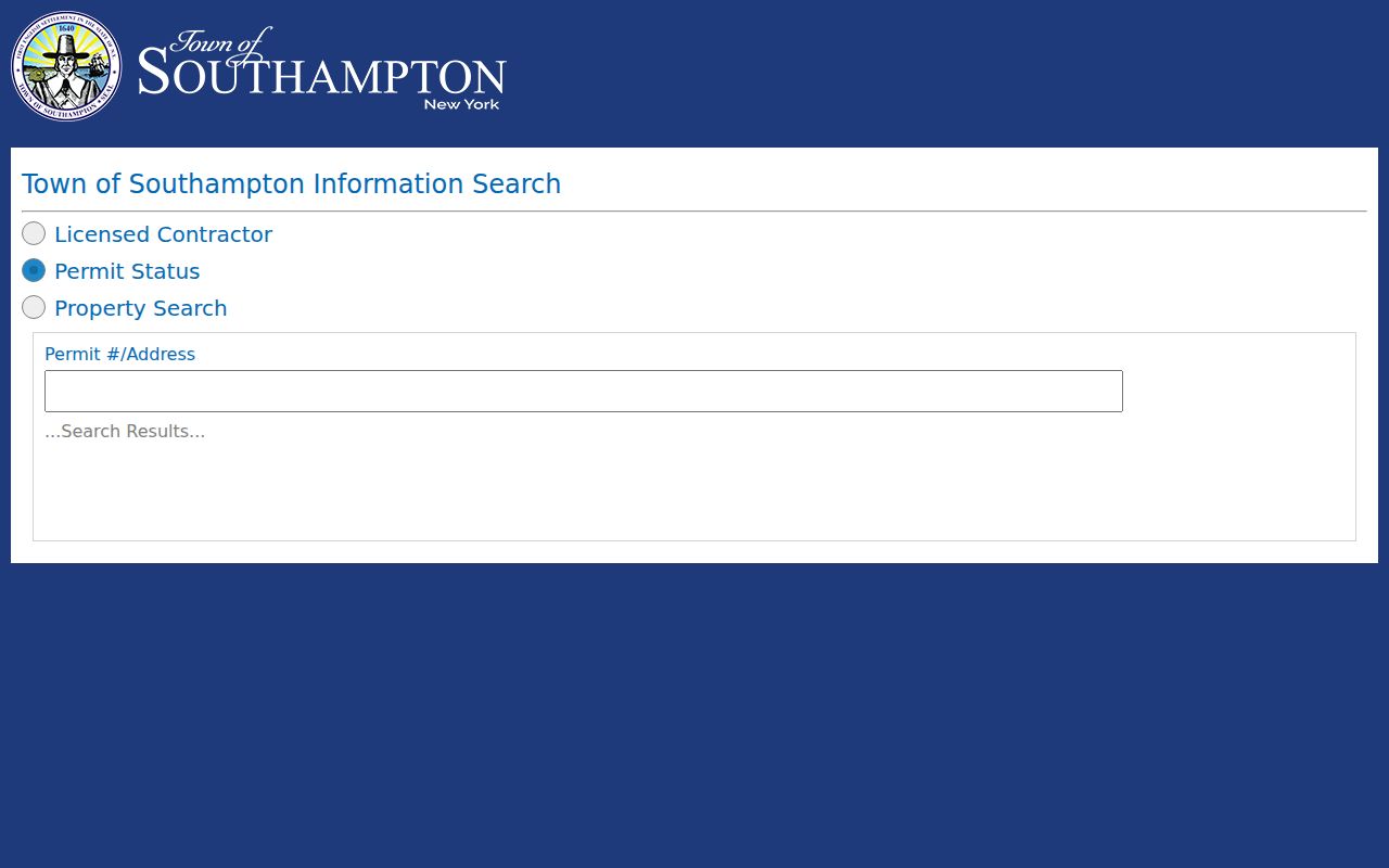
Because the public lookup does not state its earliest or latest coverage, retain the permit number, status, and printed date, then use a focused records request when older material matters.
Southampton Street Records Coverage
Address-keyed sources complement one another instead of forming one master list. The assessment roll is year-specific. GIS is map context. eTax is a current portal with unstated retention. Clerk records identify instruments, while Town land-management records need a request or an available portal route. Historic sources are useful only at the dates and access levels their repositories confirm.
| Address-keyed source | Custodian | What it can show | Access and coverage |
|---|---|---|---|
| Assessment roll | Southampton Assessor | Last reputed owner/name, mailing and situs fields, values, exemptions, class, and districts | Final-roll PDFs; 2026/27 was inspected, with older material by Town or archive route. |
| GIS parcels and layers | Southampton GIS | Parcel geometry, adjacent polygons, footprints, districts, and overlays | Free map; layer dates vary and carry a reference-accuracy caveat. |
| Tax account | Town Tax Receiver | Bill, item, address, owner, company, and tax-map search fields | eTax portal; retention period not stated. |
| Permits and land management | Town departments | Permit, certificate, plan, subdivision, variance, violation, and board fields | ePermit, ePortal, or focused FOIL; coverage varies or is not stated. |
| Recorded instruments | Suffolk County Clerk | Deed or mortgage parties, liber/page, date, type, and map links | Online land records stated as 1987 to present; images and certified copies may cost. |
| Historic address sources | Libraries, museum, archives | Maps, census, directory, obituary, and probate leads | Collection confirmation is needed, especially for reverse directories. |
The parcel identifier is the common thread. Use it to compare sources, while preserving each source's label and date.
Southampton Streets in Clerk Records
The Suffolk County Clerk kiosk separates Tax Map, Name Records, and Liber/Page searching. A tax-map search begins with house number, street name, and ZIP. Name Records can then be searched by last name or corporation, optional first name and suffix, a date range, and Starts With, Contains, or Exact matching. Search grantor and grantee separately. A recorded deed can show parties, document type, recording date, liber/page, and notations, but no single hit proves a complete chain.
Online land records are stated as 1987 to present. Earlier deed books, microfilm, and map or legal-description research require a County Clerk, library, or archive route. The Clerk's index displays the first 2,000 records for several tabs, so refine a broad street-related search by exact spelling, date, map, or instrument number.
For a document that needs to be relied on as an official record, use the Clerk's image or certified-copy route rather than a copied index line. Keep the liber/page, document type, and retrieval date together. The map identifier can connect the street address to the instrument search, but it cannot by itself establish title, a current owner, or a complete history for every lot along the street.
Note: The Clerk's judgment and lis pendens searches were marked under construction during research, so verify current availability before treating a blank result as complete.
Southampton Street Names Through Time
Historic address work needs map comparison, not an assumed renumbering rule. No universal Town-wide renumbering or annexation year was located. The Hampton Bays research profile names older road and place labels such as South Country or Montauk, Ponquogue, Springville, Squiretown, Red Creek, Wakeman, and Bay Avenue West or Newtown. A parcel may be described with a historic road name, post-office label, or current USPS standard address.
For a longer Southampton street directory trail, compare map dates with the address printed in the record. The research identifies Hampton Bays maps from 1838, 1842, 1858, 1896, 1902, and 1916, plus Sanborn map years from 1916 through 1964. That comparison is evidence about how an address was labeled, not a legally authoritative conclusion about a property boundary.
Southampton FOIL Files by Parcel
When an online search stops, use the Town's FOIL process for existing municipal records. Give the full physical address, the tax map or DSBL if known, the requested department, record type, and time period. For a site plan or subdivision, identify the project or application. For a zoning decision, include a decision number if known. For minutes or resolutions, give the board and meeting date. A focused request can identify more than one Town department for the same parcel.
- Confirm the address and tax map with Town GIS or RPTSA.
- Identify the assessment-roll year and the land-management record sought.
- Request permits, plans, decisions, minutes, certificates, or violations by address and parcel identifier through Town FOIL.
- Ask for email scans, copies, or inspection of existing records, and preserve the request and response dates.
New York FOIL generally requires an agency to grant, deny, or acknowledge a request within five business days. It does not require an agency to create a new analysis, and protected details may be redacted.
Southampton Street Directory History
Rogers Memorial Library's Long Island Room has town records, Southampton family genealogy, Shinnecock history, vertical files, maps, periodicals, photographs, and local reports. The Southampton History Museum Archives adds appointment-based access to maps, manuscripts, genealogies, and other historical material. The Town's published historic-record volumes cover material from 1639 through 1927, although they are not a substitute for a modern address index.
An official historic report cites Southampton telephone directories from 1959 through 1985, but the exact publisher, shelf sequence, and reverse capability were not confirmed. Ask the repository whether a particular volume is a telephone directory, city directory, or address index before relying on it. The historical collections themselves are discussed on the Southampton Directory Book page.
Southampton Street Directory Limits
A street directory search cannot establish every household member, private occupant, utility customer, or motor-vehicle address. Mailing address, situs, tax map, legal description, ZIP, and municipal boundary are different fields. The New York voter lookup is not a street browser, and any voter-file request has its own election-purpose and protected-field limits. A result should be described only for the record and date shown.
Lawful use. Use Southampton address records for family history, property-document research, civic transparency, or scam verification. Do not use a record to contact, follow, confront, or harass anyone; New York law restricts stalking and harassment.
If a search returns nothing, recheck the exact address, ZIP, Town or village jurisdiction, date range, and spelling. Then ask the responsible custodian whether manual files or another access route remains.