
Southampton ZIP Code Directory Coverage
The table is a historical reference drawn from the official 1964 Suffolk County planning catalog, not a statement of current postal delivery boundaries. It records Town-serving post-office labels and the post-office street listed in that catalog. USPS should verify any current delivery address. The research did not locate an official current all-ZIP service-area table, current split or realignment history, outside-boundary examples, or ZIP-level population and registration statistics.
| ZIP | Areas Covered | Post Office | Notes |
|---|---|---|---|
| 11932 | Bridgehampton, historical post-office label | Bridgehampton, Main Street | Historical planning-catalog entry; verify current service area. |
| 11942 | East Quogue, historical post-office label | East Quogue, Bay Avenue | Historical planning-catalog entry. |
| 11946 | Hampton Bays, historical post-office label | Hampton Bays, Montauk Highway | Historical planning-catalog entry. |
| 11959 | Quogue, historical post-office label | Quogue, Midland Avenue | Incorporated-village/post-office label; verify Town boundary. |
| 11960 | Remsenburg, historical post-office label | Remsenburg, South Country Road | Historical planning-catalog entry. |
| 11962 | Sagaponack, historical post-office label | Sagaponack, Sag Road | Historical planning-catalog entry. |
| 11963 | Sag Harbor, historical post-office label | Sag Harbor, Main Street | Post-office label may not equal Town boundary. |
| 11966 | Shinnecock Hills, historical post-office label | Shinnecock Hills, Railroad Depot | Historical planning-catalog entry. |
| 11968 | Southampton, historical post-office label | Southampton, Nugent Street | Historical planning-catalog entry. |
| 11969 | Southampton mailing or PO-box clue | Not stated in the catalog | Seen in current assessment-roll mailing fields; current geographic service was not located. |
| 11972 | Speonk, historical post-office label | Speonk, Phillips Avenue | Historical planning-catalog entry. |
| 11976 | Water Mill, historical post-office label | Water Mill, Montauk Highway | Historical planning-catalog entry. |
| 11977 | Westhampton, historical post-office label | Westhampton, Mill Road | Historical planning-catalog entry. |
| 11978 | Westhampton Beach, historical post-office label | Westhampton Beach, Main Street | Post-office label may not equal Town boundary. |
A ZIP code directory is a useful historical index to postal names, but it cannot redraw the Town of Southampton, an incorporated village, or a current USPS delivery route. The 11969 entry is especially limited: it appears as a Southampton mailing clue in assessment-roll fields, not as a confirmed current geographic area. Keep the source date and the type of postal evidence beside each search note.
Southampton’s 1964 Postal Catalog
The historic catalog gives a practical way to read older letters, directories, newspaper notices, and map references. A post-office label can be a search variant for the same broad town research, while still referring to a hamlet or incorporated village rather than a municipal boundary. Use the label as it appears in the historical source. Do not replace it with a newer place name unless a dated map or postal source supports the change.
County and Town mapping provide context after a historical postal label is identified. The Suffolk County GIS resources describe county mapping and its general-reference accuracy limits. They help compare parcel, district, and mapped geography, but the research does not show a free ZIP-wide result in the Town GIS viewer. Postal validation still belongs with USPS.
The Suffolk County GIS page is a useful map-context source once a historical Southampton postal name has been identified.
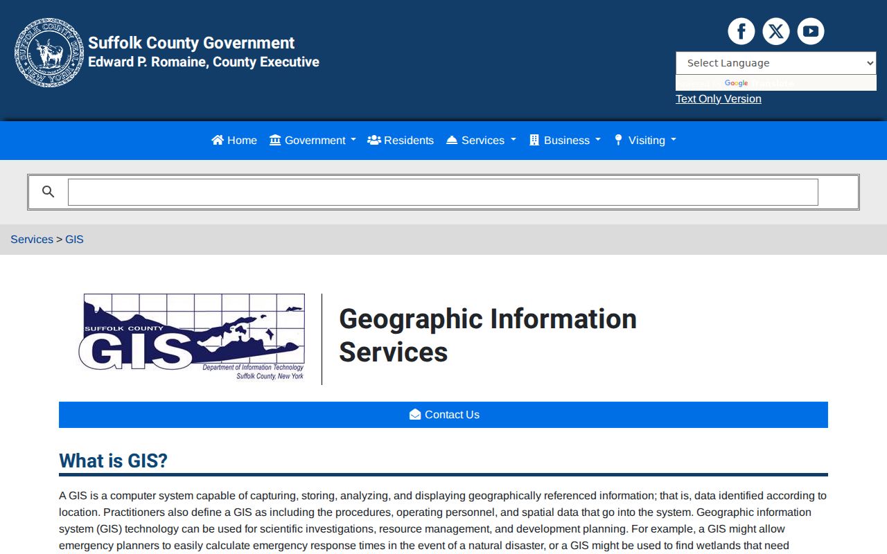
County map layers can add geographic context, but their boundaries are cartographic and do not replace an address-specific USPS result.
Southampton ZIP Code Checks by Address
Use the USPS ZIP Lookup to confirm a present delivery address. The observed form accepts a residential or corporate address, city, and state. That is the appropriate route when a record contains a possible ZIP but the delivery address, post-office label, or municipality is uncertain. A list of area codes or historical labels is not a substitute for this exact-address check.
After postal confirmation, separate the physical situs from the mailing address in parcel research. The Southampton assessment system can print a last reputed owner or name, a mailing address, a situs, a tax-map identifier, and assessment fields. Those values answer different questions. A mailing ZIP can be a correspondence field, while the situs is the physical parcel address. Neither alone proves present occupancy.
Note: Preserve the standardized delivery address, source date, and agency beside the result so a later search does not confuse postal evidence with a parcel record.
Southampton ZIP Code Portal Fields
Several official tools accept a ZIP as part of a narrower query, but their results are not interchangeable. USPS checks a delivery address. The Suffolk County Clerk tax-map search uses a house number, street name, and ZIP to return parcel-oriented fields. Town eTax uses address, bill, owner or company name, tax-map number, and item number. The state voter lookup is a person-specific operational lookup with required identity fields, not a ZIP-wide roster.
| Portal | Observed fields | Use and limit |
|---|---|---|
| USPS ZIP Lookup | Residential/corporate address, city, state | Current address-specific postal confirmation. |
| Southampton eTax | Address, Bill Number, Owner Name, Company Name, Tax Map Number, Item Number | Free tax-account search; historical retention was not stated. |
| Suffolk Clerk Tax Map | House Number, Street Name, ZIP Code | Parcel result can show names, address, and district-section-block-lot fields; first 2,000 results display. |
| NYS Voter Lookup | County, last name, first name, date of birth, ZIP | Current registered-voter lookup, not a downloadable full voter file. |
| DOS license-name search | Last name, first name, license type, county, city, ZIP | Official license-status search; it does not establish a person’s physical presence at an address. |
For voter information beyond the individual online lookup, the New York Board of Elections FOIL route describes a request and appeal process. Information derived from registration has an elections-purpose rule, and protected identifiers remain excluded. It should not be used as a broad ZIP-based resident list.
For record research that needs documents, permits, sales, or owner-address functions, the Southampton GIS ePortal describes those functions behind a paid subscription. Its inspected prices ranged from $10 for daily access to $350 annually, and its exact historic retention dates were not published.
The Southampton GIS ePortal login shows the paid-access route associated with more detailed map and record functions.
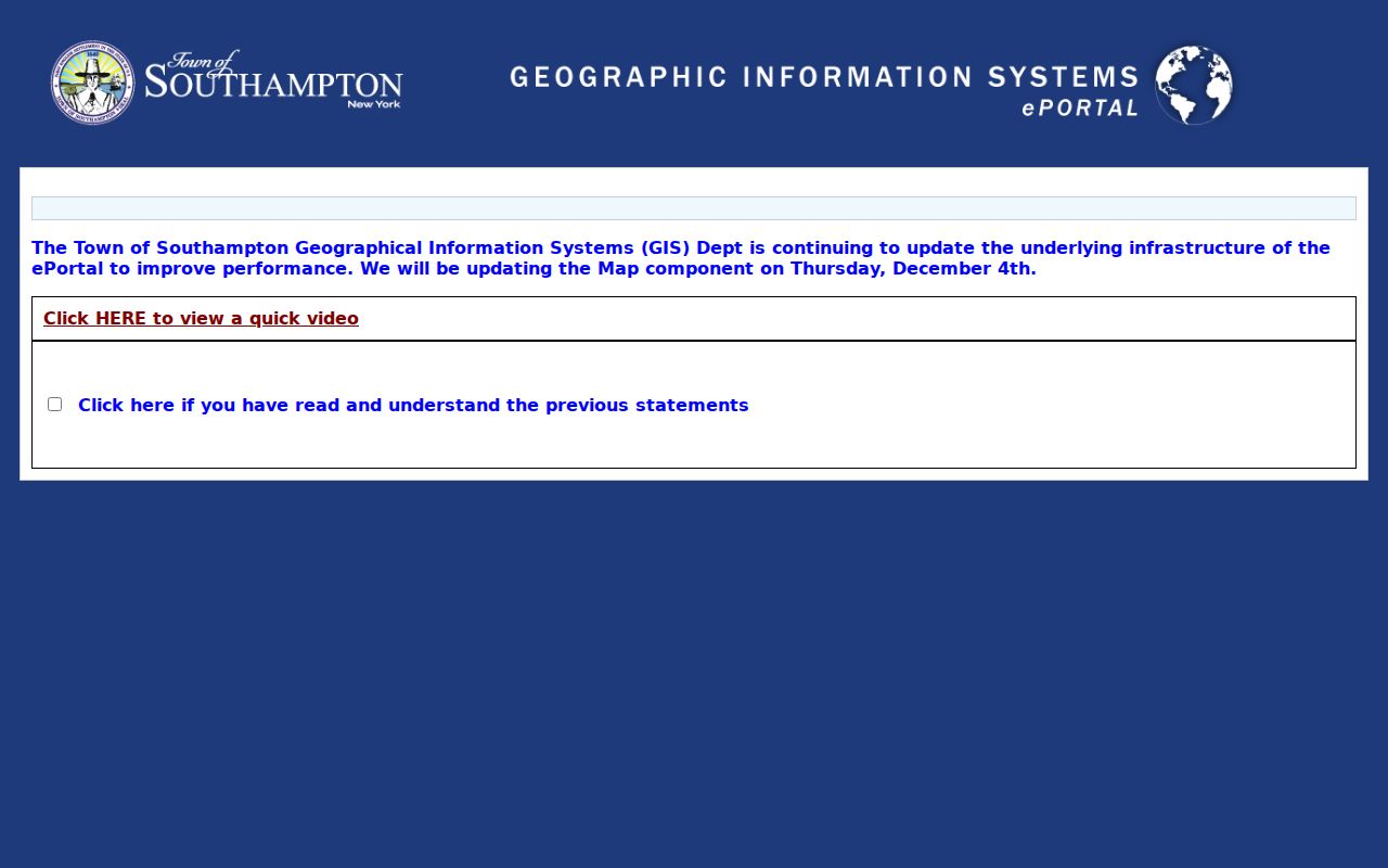
A subscription description is not proof that every historic image, permit, or postal boundary is available through the portal.
Finding Southampton Residents by ZIP
Use a ZIP to refine a record already tied to a name or address, not to promise a broad resident list. The free Town GIS viewer accepts an address or map click and supports a larger search radius, but the research did not find a ZIP-wide result there. The County Clerk Tax Map interface uses ZIP together with house number and street name. The voter lookup uses ZIP with county, name, and date of birth. Each tool is narrower than a townwide people directory.
- Confirm the full delivery address with USPS and retain the returned postal wording.
- Check the Town GIS or eTax address route for the parcel, tax-account, or mapped context that applies.
- Use the County Clerk Tax Map search with the house number, street name, and ZIP when a parcel identifier is needed.
- For an individual voter’s current lookup, use the state form only with its required county, name, date of birth, and ZIP fields.
- Record the custodian, record date, source URL, and whether the result is postal, map, tax, or voter information.
Once the ZIP and address have been narrowed, the Southampton Street Directory is the better route for the full address-keyed record chain. Do not turn a ZIP match into a conclusion that a person currently lives at the address.
Southampton ZIP Code Boundary Limits
Southampton includes unincorporated areas and seven incorporated villages, making a “Southampton, NY” label ambiguous. A hamlet, village, post-office name, ZIP, Town boundary, and source agency can all differ. The historical catalog itself marks Quogue as an incorporated-village/post-office label and cautions that the Sag Harbor and Westhampton Beach labels may not equal a Town boundary. The research did not locate current outside-boundary examples, so none should be inferred from the catalog.
- ZIP and ZIP+4
- A ZIP identifies a postal delivery area. The added ZIP+4 detail narrows delivery routing for a standardized address and should be confirmed with USPS.
- PO-box ZIP
- A postal label used for post-office boxes can differ from a geographic delivery area. The Southampton 11969 evidence is only a mailing or PO-box clue.
- Unique ZIP
- A ZIP USPS assigns to one organization or site, if USPS designates it. No such Southampton assignment was identified in the research.
- Carrier route
- A delivery sequence used by postal operations. It is not a municipal boundary or a record of who occupies every address on the route.
The Suffolk Tax Map Division explains the parcel identifier system that is more useful than a ZIP when the question is about a specific lot.
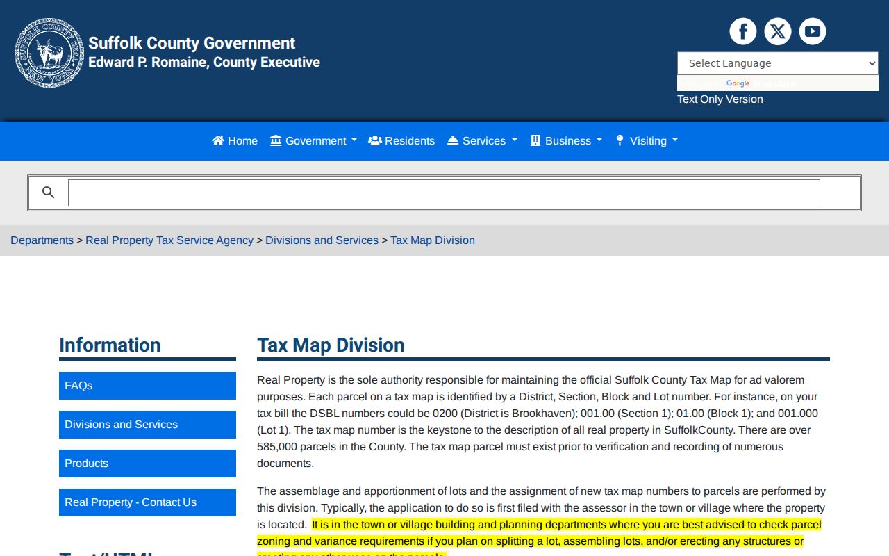
District-section-block-lot, often called DSBL, links a parcel to tax-map research but does not redefine a postal boundary.
Southampton Postal Names in History
Older postal labels are useful search variants in historical sources. The Hampton Bays research, for example, identifies older road labels including South Country/Montauk, Ponquogue, Springville, Squiretown, Red Creek, Riverhead, Wakeman, and Bay Avenue West/Newtown. Compare an old road or post-office label with a dated map, directory, newspaper, or assessment source. The result is map evidence and source comparison, not an authoritative street-renumbering history.
The Southampton interactive sales map is a separate map application that displayed qualified sales between July 1, 2023 and June 30, 2025 during inspection. Its filters exclude many atypical transfers, so it is not an appraisal, resident list, or postal-boundary source.
The interactive sales map illustrates a Town mapping tool that must be kept separate from ZIP and address verification.
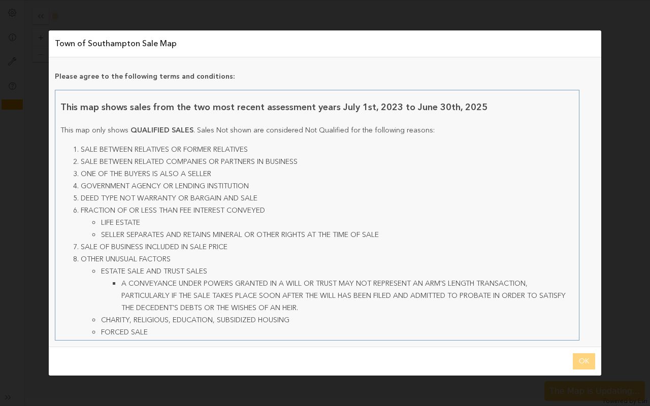
The map can provide dated sales context, while USPS and the parcel record remain the sources for their own separate questions.
Southampton ZIP Code Map Access
The Town GIS Public Information Center is free and supports an address or map click, a larger search radius, and layers such as tax parcels, building footprints, community boundaries, school and fire districts, zoning, flood zones, historic districts, and planning projects. It is valuable after an address has been confirmed. Layer dates vary, and the map’s geometry is not a guarantee of current postal service or legal boundary status.
Town eTax, GIS, the assessment roll, RPTSA, and the County Clerk each organize information around different identifiers. A useful sequence is address to parcel, parcel to DSBL or tax map, then document or assessment source as needed. Keep the postal ZIP in its own field rather than using it as a substitute for a parcel identifier or municipal value.
Note: Map layers, postal geography, and municipal limits have different update cycles, so retain the agency and date for each one.
Limits of a Southampton ZIP Search
A Southampton ZIP code search cannot prove who owns a parcel, who lives there now, who votes there, or whether people know one another. Postal and assessment sources have distinct purposes, and their fields can lag or differ. The strongest result labels the source accurately: USPS for delivery confirmation, GIS for mapped context, eTax or the assessment roll for tax fields, RPTSA for official tax-map authority, and the County Clerk for recorded instrument indexes.
If an online search is blank, check the exact spelling and ZIP, confirm whether the place is a Town or village jurisdiction, try the appropriate custodian, and ask whether a paper or manual record remains. A blank portal result is not proof that a record, address, or historical household never existed.